Geospatial Science Programs at UAF
“GIS is about uncovering meaning and insights from within data.”
-Jack Dangermond, CEO of ESRI, the creators of ArcGIS.
-Jack Dangermond, CEO of ESRI, the creators of ArcGIS.
Geospatial data are ubiquitous in today's economic and research environment, and familiarity in GIS and remote sensing can boost a graduate's career prospects. Thousands of organizations in virtually every field are using GIS to analyze data, make maps that reveal patterns and relationships, share insights, and solve complex problems of local to global significance.
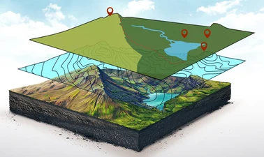
Geospatial science involves the collection and analysis of geographic information, and mapping technologies to solve the complex real-world problems. It applies to many interdisciplinary fields and provides data, tools and insight that are essential to confronting the challenges posed by a rapidly changing natural and socio-economic environment.
There is a growing need for a workforce skilled in GIS.
Why study GIS at UAF?
 AlaskaX Professional Certificates and Courses
AlaskaX is a partnership between UAF and edX that started in 2020. edX is a non-profit global online education platform founded by MIT and Harvard in 2012 that reaches 50 million learners across the globe. AlaskaX courses share UAF’s expertise with the world and communicate our role as a leader in climate change research, indigenous studies, and Arctic and circumpolar studies. All AlaskaX courses are MOOCs – Massive Open Online Courses, meaning that there are no enrollment caps. And they all offer their content for free, with the option for learners to purchase the verified track which provides a grade and proof of completion.
AlaskaX Professional Certificate in Geographic Information Systems (GIS) Essentials
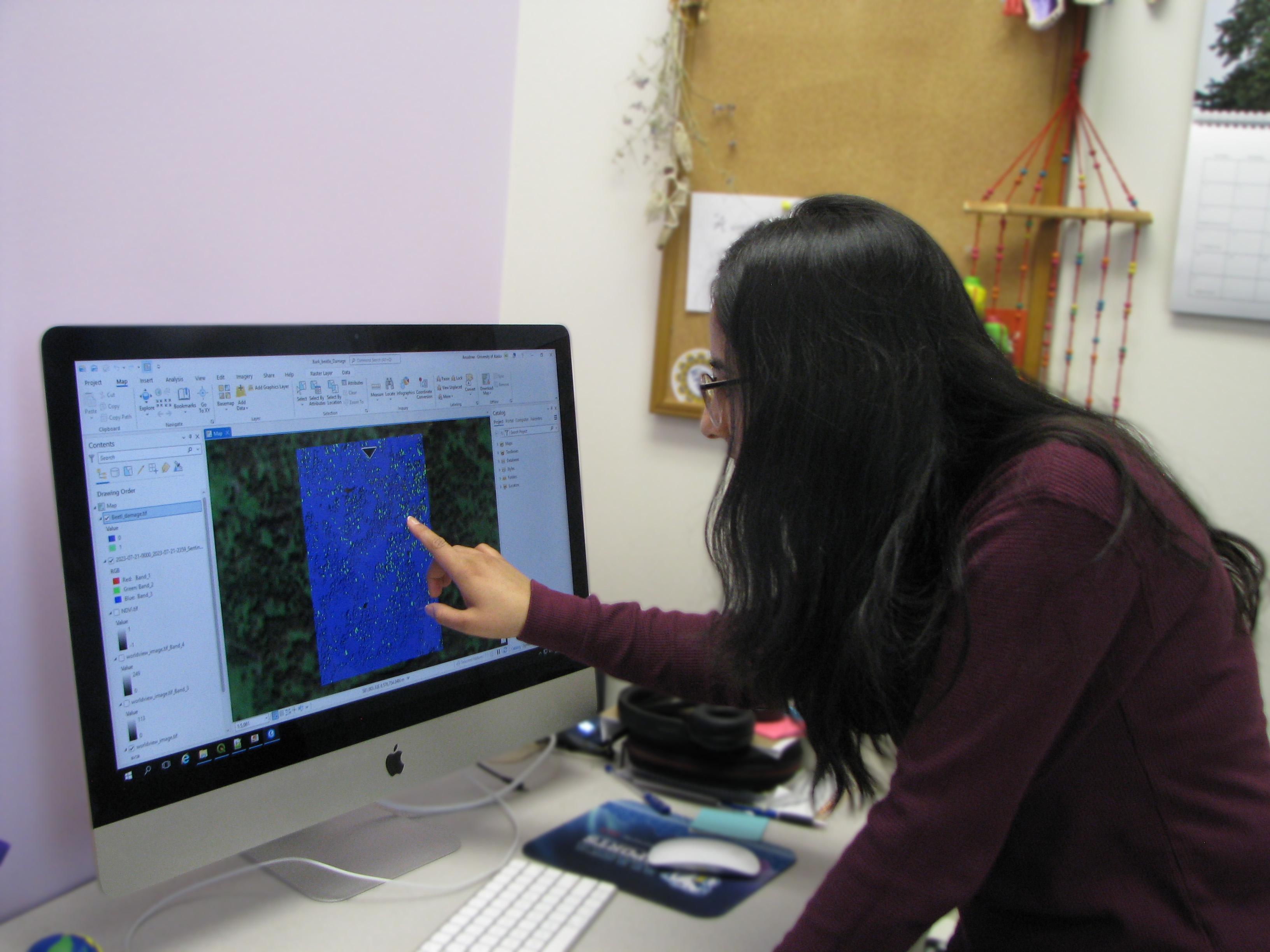
This professional GIS certificate program will provide a comprehensive introduction to state-of-the-art methods and modern applications of GIS with the goal to prepare students for entry-level GIS jobs and undergraduate programs in geospatial sciences. Using the industry leading ArcGIS Pro GIS software, students will work with GIS datasets to support better decision making across many applications through data analysis of geographic data. This program includes three courses that span four weeks each; GIS Foundations, 3D GIS, and GIS Image Analysis in ArcGIS Pro.
During this certificate program students will:
- Build proficiency in ESRI’s ArcGIS Pro software, the industry standard.
- Use geoprocessing tools for spatial analysis and problem solving.
- Communicate spatial analysis results through maps, graphs and ArcGIS story maps.
- Use 3D geoprocessing tools for landscape analysis and watershed delineation, and ArcScene for 3D visualization.
- Learn image processing and analysis in ArcGIS Pro to assess vegetation health, wildfire burn severity, and flood impacts. Use image classification to map land use and land cover.
AlaskaX Professional Certificate in Synthetic Aperture Radar (SAR): Applications
This certificate program will introduce you to the concepts and applications of Synthetic Aperture Radar (SAR), a remote sensing technology that can see the ground even during darkness and through rain, clouds, or smoke. As a participant completing the certificate, you will gain an intuitive understanding of the information contained in SAR observations. You will learn about the concepts of interferometric SAR and experience how SAR data acquired at different polarizations can reveal a wealth of information about the earth environment. Based on these foundations of SAR, interferometric SAR, and polarimetric SAR, participants will learn about how SAR and change detection techniques can be applied to the monitoring of natural hazards and to the analysis of the Earth’s ecosystems. This program includes three courses that span four weeks each; Synthetic Aperture Radar: Foundations, Synthetic Aperture Radar: Hazards, Synthetic Aperture Radar: Ecosystems.
During this certificate program students will learn:
- The mathematical and physical principles of SAR remote sensing.
- How to access and visualize SAR data.
- Interpretation of SAR imagery at different wavelengths and polarizations.
- Interferometric SAR (InSAR) concepts.
- The principles of Polarimetric SAR (PolSAR).
- Application of SAR and InSAR to hazard monitoring with a focus on natural hazards such as earthquakes, volcanoes, landslides, wildfires, and flooding.
- Application of SAR and polarimetric SAR data to the analysis of ecosystems and their change including monitoring agriculture extent, forest monitoring for forest fires and deforestation, and forest biomass estimation.
Other AlaskaX Geospatial courses
AlaskaX: Unmanned Aerial Systems (UAS): Fundamentals
In this free, self-paced online course, you examine the types of platforms available to most consumers and industry users and will understand the principles and characteristics of how they fly.
The course comprises three modules, each lasting one week. The course kicks off with the basics of UAS including the history of the technology, principles of flight, and introduce the terminology used.
AlaskaX: Remote Sensing of Wildfires
Participants in this course will learn about remote sensing of wildfires from instructors at the University of Alaska Fairbanks, located in one of the world’s most active wildfire zones. Students will learn about wildfire behavior, and get hands-on experience with tools and resources used by professionals to create geospatial maps that support firefighters on the ground.
Geospatial Science Graduate Certificate
 The Geospatial Science Graduate Certificate prepares the student to harness geospatial
technologies for cutting-edge applications in natural resources, geohazard management,
and much more. The program teaches advanced skills in Geographic Information Systems
(GIS) and remote sensing, including digital mapping, radar imaging, predictive data
analytics. They can boost careers in start-ups, consulting and government agencies,
in a wide range of fields, including mining, forestry, conservation, and engineering.
The certificate will provide participants a solid foundation on GIS and remote sensing concepts and practical skills that can be applied to any level of research or study that makes sophisticated use of geographic and remotely sensed data.
This certificate is equivalent to a year of course work done by graduate students in this area. Its target audience consists of students and professionals seeking advanced skills and mastery in GIS and Remote Sensing tools and concepts. It is most suitable for students with a background in the sciences and engineering.
MS or PhD in Earth System Science, Geospatial Science Concentration
The Geospatial Science concentration of Earth System Science includes the disciplines of visible to infrared and microwave (SAR and InSAR) remote sensing, Geographic Information Systems, and their applications in the area of geosciences, natural resource management, and environmental monitoring. It is grounded in geographic science, mathematics, computer science, and data science. Methods and applications in the Geospatial Science concentration seek to characterize our changing environment, inventory and management of natural resources, and mitigate risks from geo-hazards relevant to Alaska and surrounding regions. Continuous geospatial observations of our ever-changing environment and geo-hazards from space and air are essential components of Earth System Science, as they allow for detailed studies of processes and events across scales relevant to the associated disciplines.


