

UAS Researcher Hopes Map Can Aid Pandemic Response
September 2, 2020
A recent article published in the Juneau Empire details a COVID19 response project funded by Alaska Center ICE.
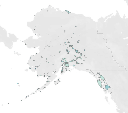
Most maps of Alaska show governmental boundaries and geographic features, but offer little insight into where people live or which places might be especially vulnerable to pandemic or in need of relief.
A new project made by John Harley, a postdoctoral researcher at the University of Alaska Southeast, attempts to show exactly that via an interactive map of the state that identifies the pockets of populations scattered throughout the state and identifies potentially at-risk areas using factors such as age, financial security and more.