

Large image view: University research in flight
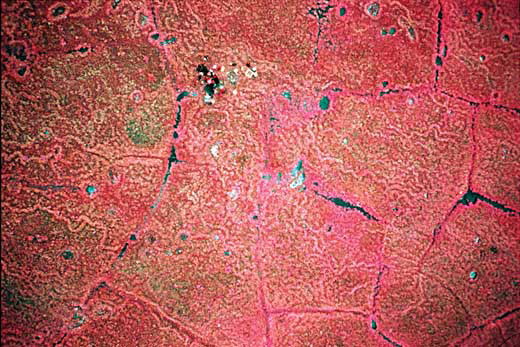
A color infrared photo shows the acidic, wet tundra 27 miles south of Deadhorse. In the top middle of this photo Chien-lu Ping and Edmond Packee’s Natural Resources Management soils field trip class can be seen digging a pit to collect samples.
Credit: Norman R. Harris
Filename: Infrared_tundra.jpg
All images in the UAF Newsroom are protected by copyright and may not be downloaded or used without permission. If you are interested in obtaining permission to use an image from the Newsroom, please fill out the online image request form.