

Exploring a changing Arctic coast with Google Earth Engine
Molly Cain
907-474-6383
Dec. 16, 2022
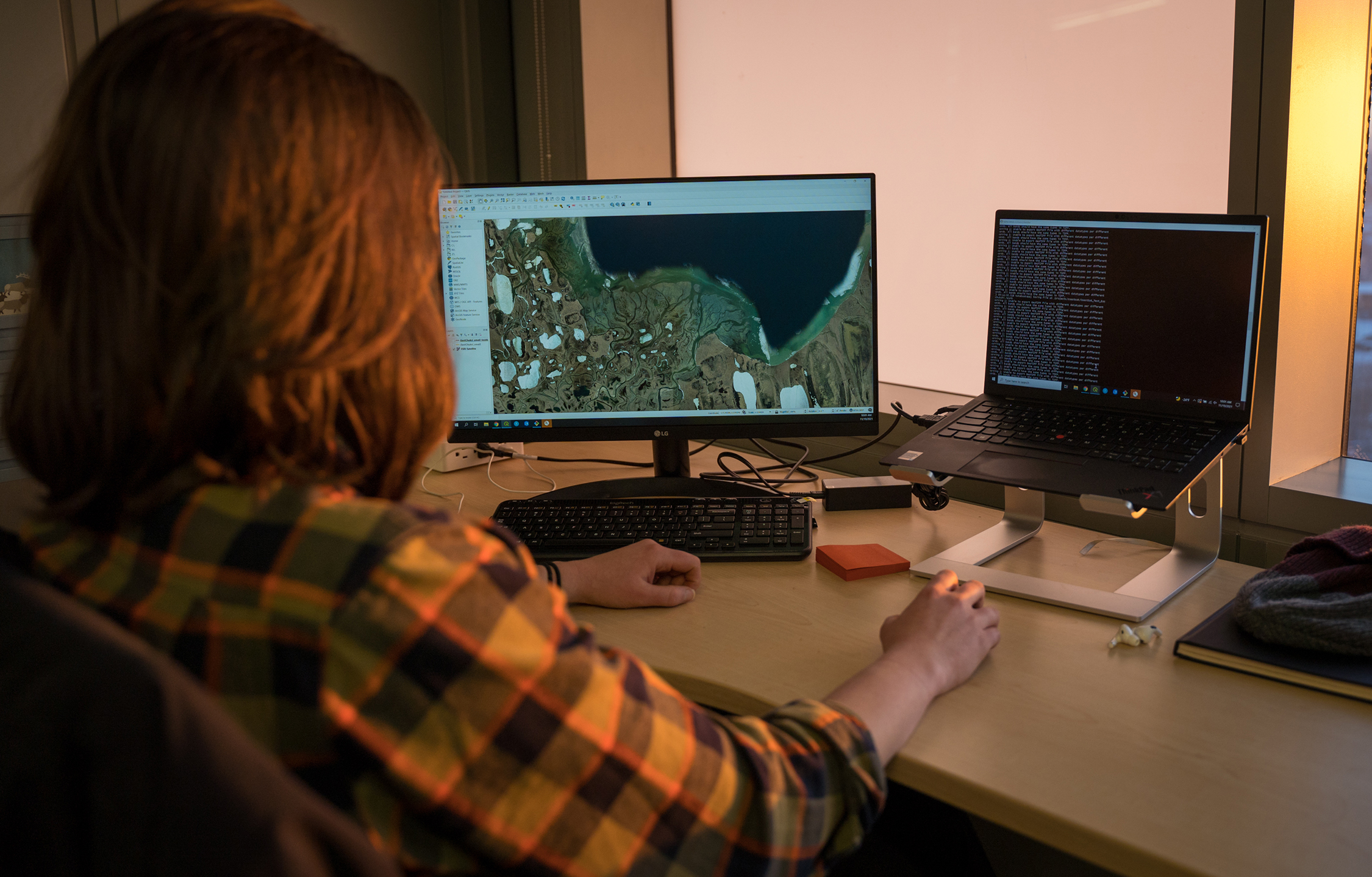
Noelle Helder works at a computer.
Arctic coastlines are changing rapidly in the face of climate change, placing coastal communities and infrastructure at risk. In Alaska, assessing coastlines is challenging due to limited observational data. This information is critical for predicting future shoreline changes and mitigating risk.
To address this issue, Noelle Helder, an Alaska Sea Grant State Fellow with the Alaska Center for Energy and Power at the University of Alaska Fairbanks, is working to develop geospatial systems that streamline and automate mapping of Alaska’s coastline.
The project uses Google Earth Engine, a cloud-based geospatial data repository and platform for analyzing satellite images, which is free for research use.
“With vast, accessible geospatial data repositories available at our fingertips, we are able to dramatically reduce the amount of time downloading and searching for data, and can spend more time focusing on the innovation of useful automated mapping systems,” explained Helder.
Initial results suggest the open-source approach efficiently detects shoreline positions from satellite imagery and enables quantification of shoreline changes in the Arctic.
“With a growing archive of available satellite imagery, this automation technology has the potential to enable monitoring tools that continually update and help planners prioritize mitigation work in the face of rapid coastal changes,” Helder said.
The research team plans to expand the automated shoreline detection pipeline to include higher resolution satellite imagery and user tools for near-real-time monitoring.
