

Scientist seeks understanding of overflow ice
Mike DeLue
907-474-5968
Dec. 14, 2023
This week, scientists from the University of Alaska Fairbanks are presenting their work alongside thousands of colleagues from around the world at the 2023 American Geophysical Union fall meeting. Some of their discoveries are featured here. You can also find out more about UAF at AGU by searching for #UAFxAGU on social media platforms.
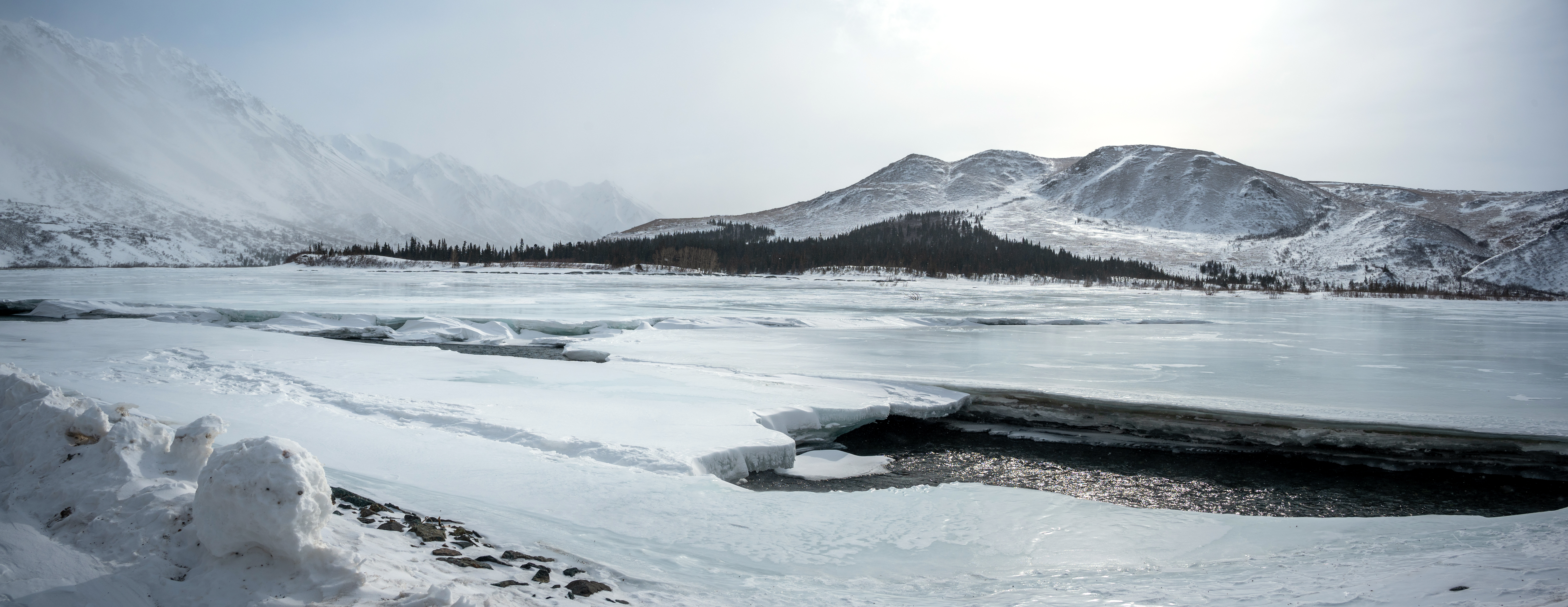
Aufeis covers the Delta River near Paxson, Alaska.
The annual freeze and thaw of a type of ice called “aufeis” on Alaska’s North Slope is hard to track. University of Alaska Fairbanks Ph.D. student Julian Dann is finding new ways to identify it.
“Aufeis along river floodplains forms when liquid water from under existing river ice is repeatedly squeezed onto the surface and freezes in thin layers,” Dann explained. “The process happens each winter, creating thick layers of ice that store a lot of water.”
Up to 40% of spring water is stored over winter in these layers of ice, and Dann’s master’s thesis found that the timing of aufeis melt is changing. Both subsistence users and water managers need to understand earlier melting of the ice to manage water resources and fish on the North Slope. The ice also presents hazards to summer recreation on the rivers, and can cause serious damage to culverts and bridges both as it forms and as it melts.
Satellites can see this ice from space and help ecologists and infrastructure managers plan, but it can be a challenge.
“From space, snow and ice look really similar,” Dann said. “Right now there are two methods we use to identify aufeis. One is easy but less accurate, and the other is slower and harder to use. My research bridges that gap.”
According to Dann, using near-infrared light data from satellite imagery may be key to shedding a clearer light on this part of our icy ecosystem.