

UAF drone pilots head to western Alaska for emergency response
Heather McFarland
907-474-6286
Sept. 21, 2022
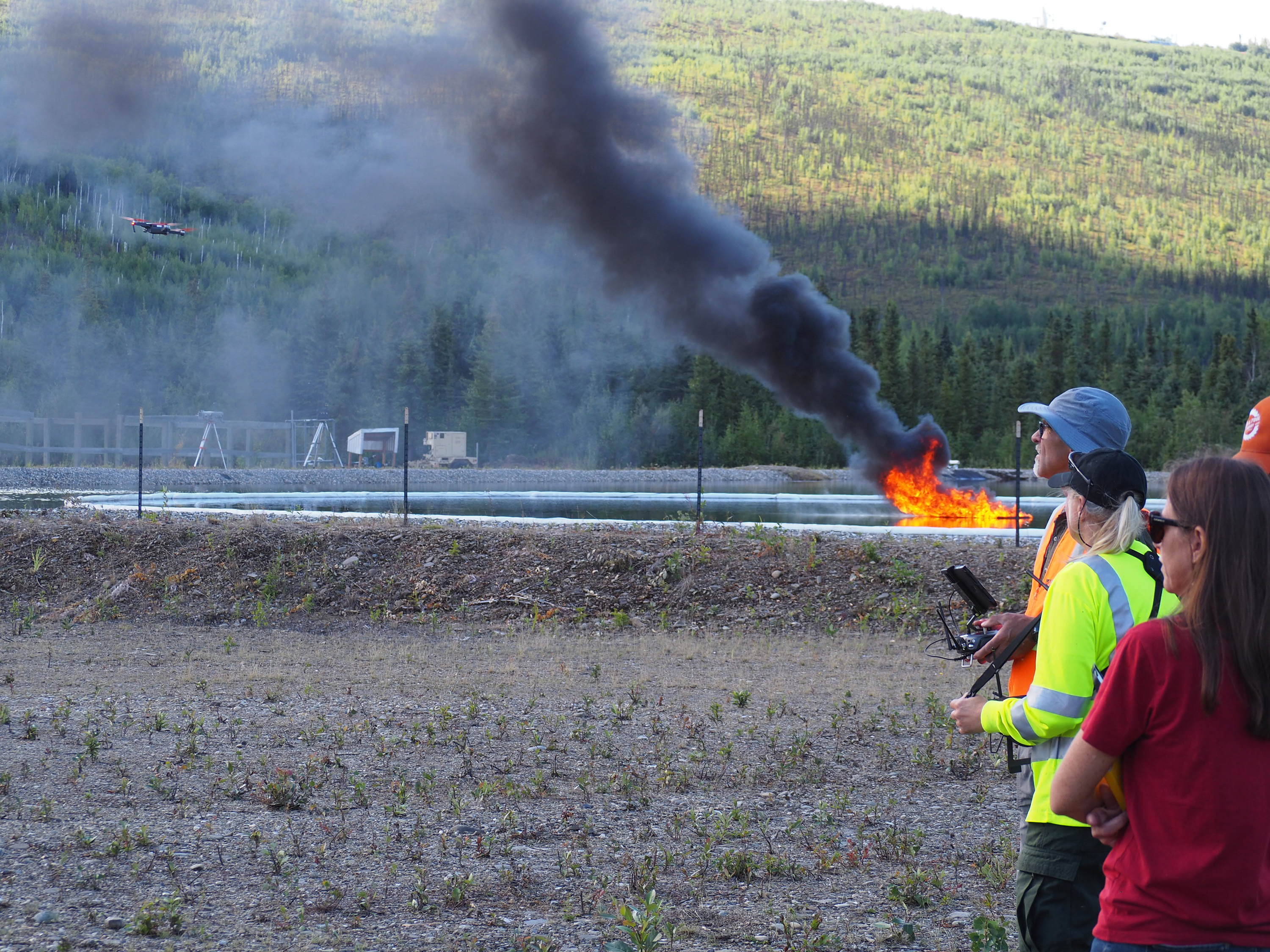
Drone pilots testing their ability to respond to oil spills during a research and training exercise at Poker Flat Research Range in August.
A University of Alaska Fairbanks drone team headed to Western Alaska Wednesday to support the U.S. Coast Guard’s emergency response following Typhoon Merbok. Over the next few days to weeks, the team will work alongside the Coast Guard’s Marine Safety Task Force as they assess infrastructure damage at as many as 20 coastal communities in Alaska’s Bering Strait.
Typhoon Merbok damaged hundreds of miles of coastline on Sept. 17, from north of Bristol Bay to just beyond the Bering Strait. In places like Nome, the ocean rose 10.5 feet above the low-tide line, the highest in nearly half a century. The flooding and wave action inundated homes, destroyed roads and runways, damaged sea walls and other critical infrastructure, left communities without water or communication and much more.
UAF’s team will use drones to evaluate the integrity of oil-bearing infrastructure and perform community assessments for other hazardous spills that may have occurred as a result of the storm.
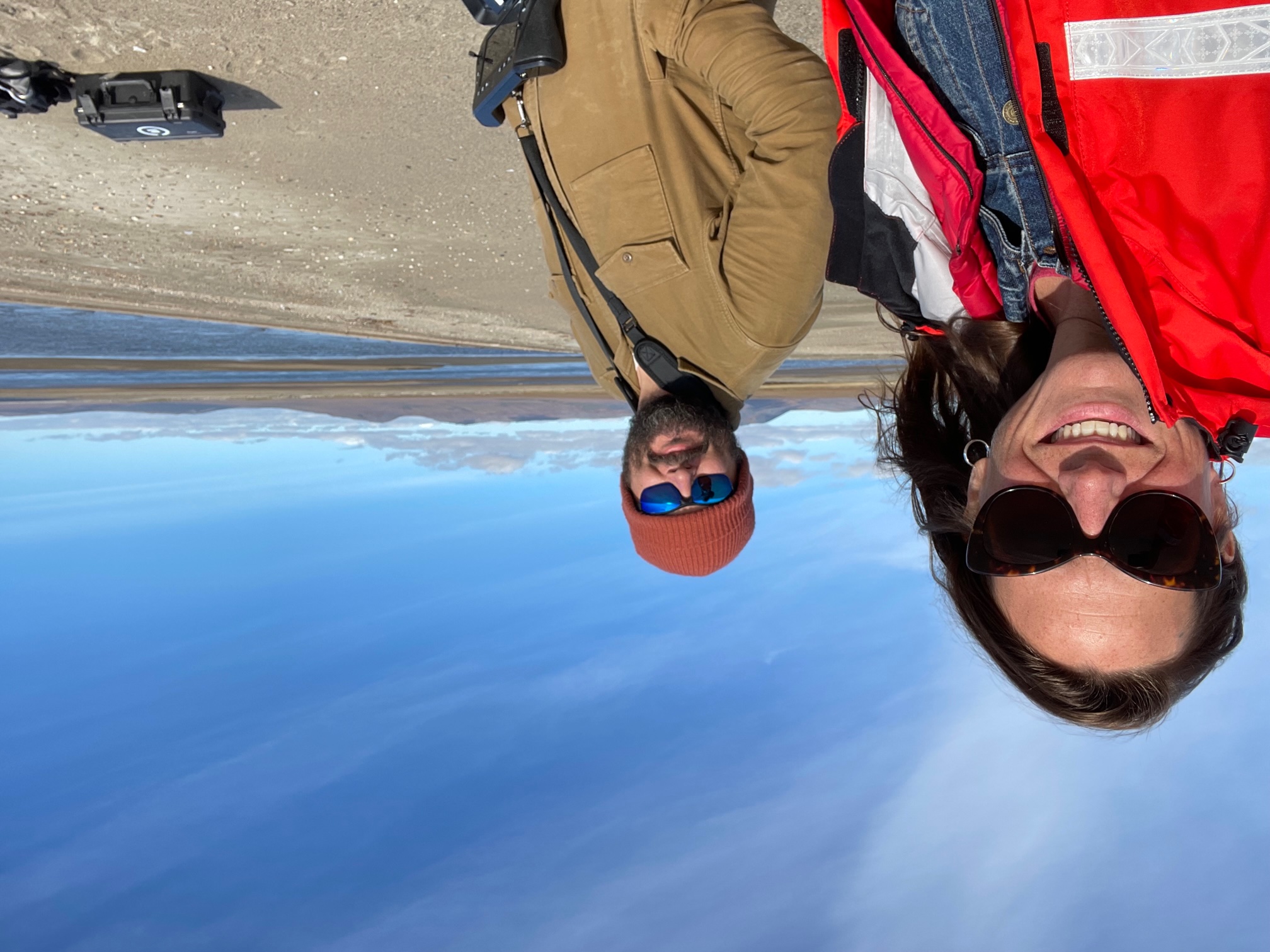
Jessica Garron and Mike DeLue at Poker Flat Research Range in August while participating in an exercise to use drones and remote sensing in oil spill response.
“As the Coast Guard performs boots-on-the-ground assessments, we’re their eyes in the sky by providing 2D and 3D mapping,” said Mike DeLue, a drone pilot and science communicator at the UAF International Arctic Research Center.
DeLue and project lead Jessica Garron, the deputy director of the Alaska Climate Adaptation Science Center at IARC, will be the first two UAF drone pilots called to the impacted communities.
First stop is Unalakleet. Even before Typhoon Merbok, DeLue and Garron were working with John Henry, deputy director of the Native Village of Unalakleet, to build drone capacity in rural Alaska. Through that work, three Unalakleet drone pilots have been successfully trained and equipped to conduct infrastructure assessments, flood mapping, environmental monitoring and coastal erosion mapping.
Both the UAF team and rural pilots have been preparing for situations like Typhoon Merbok. Just last month, several team members participated in an oil spill research exercise at Poker Flat Research Range, while other team members tested operations in Nome.
Drone data gathered by DeLue, Garron and their team will be shared through the State of Alaska Open Data Geoportal, making it available to emergency operations within numerous state and federal agencies.
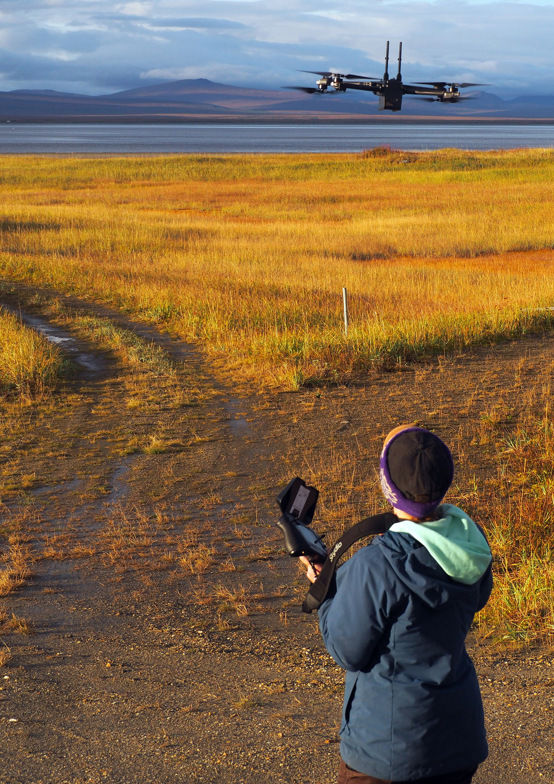
Katie Daniels, a resident of Bethel, flies a drone during a training exercise in Nome in August.
"I am grateful that the work we do here at IARC, the AK CASC and Scenarios Network for Alaska + Arctic Planning, is valuable to communities and agencies in times of science, and in times of crisis,” said Garron. “The coordination among all of the communities, agencies in the Emergency Operations Center and with our team is renewing critical relationships built on geospatial information among partners across all of Alaska. We are honored to support this critical mission."
Other team members include: Margaret Hall, Model Forest Policy Project; Tom Kurkowski, International Arctic Research Center; Katie Daniels, Association for Village Council Presidents.
CONTACT: Scott Rupp, deputy director of the International Arctic Research Center, tsrupp@alaska.edu.