
Research in the Arctic
Research funding
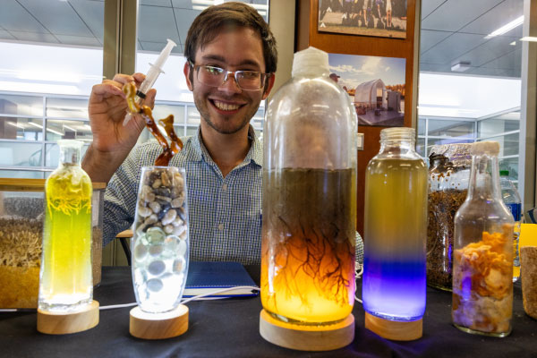
Core research areas
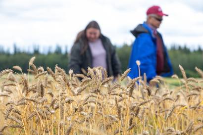
UAF’s research excellence spans a wide array of disciplines, driving innovation and tackling global challenges. With over 17,000 journal publications, our world-class researchers are making impactful contributions across fields such as environmental science, engineering, and more. This impressive output underscores UAF's leadership in advancing knowledge and fostering groundbreaking discoveries.
*In order of frequency: medicine, chemistry, multidisciplinary, mathematics, materials science, energy, arts and humanities, immunology and microbiology, computer science, economics, econometrics and finance, chemical engineering, business, management and accounting, neuroscience, psychology, pharmacology, toxicology and pharmaceutics, other, veterinary, decision sciences, health professions, dentistry, undefined


UAF research institutes
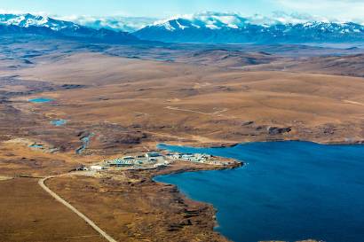
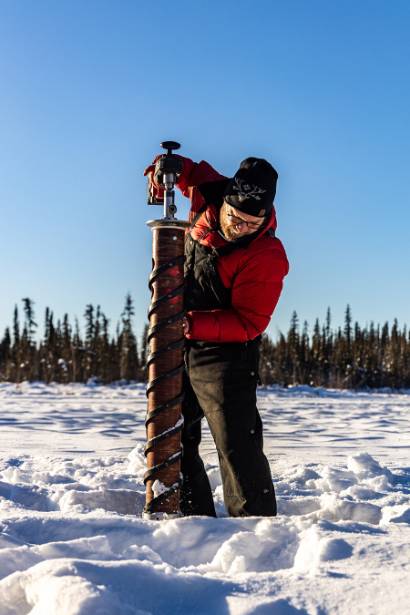
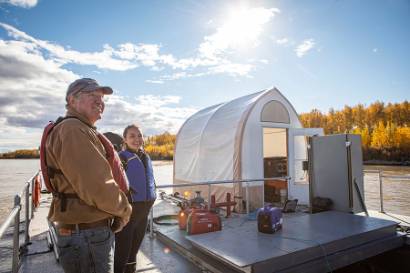
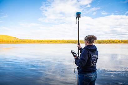
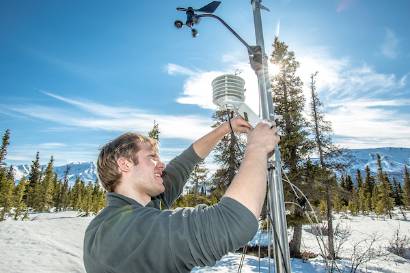
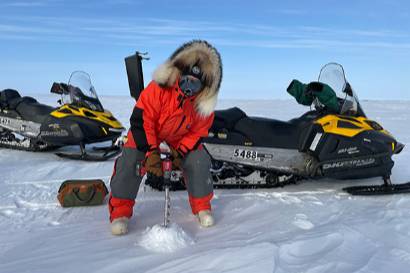
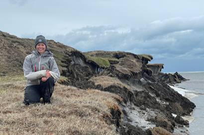
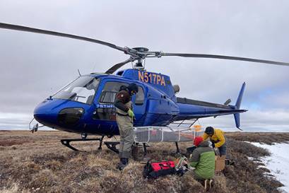
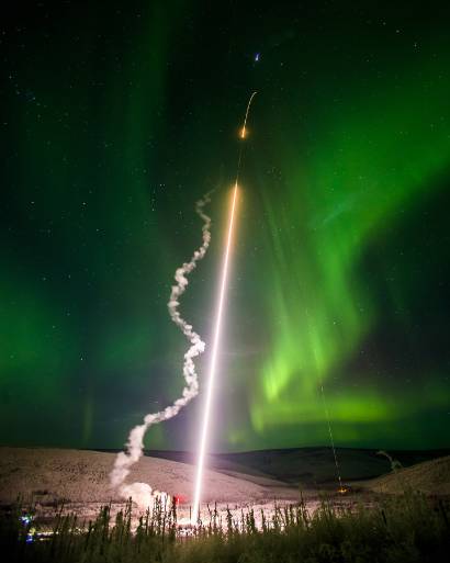
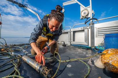
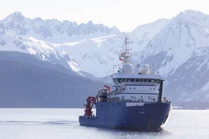
UAF leads research in northern and Arctic regions, leveraging our unique location, state-of-the-art facilities, and expertise to advance knowledge of the Arctic and beyond. From geophysics to food security, UAF drives innovation and solutions in critical areas. Our core research domains include the following:
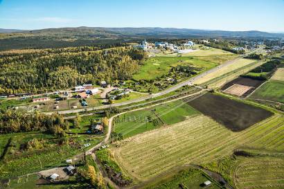
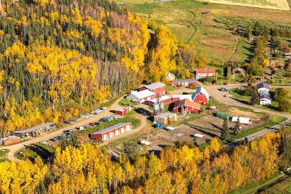
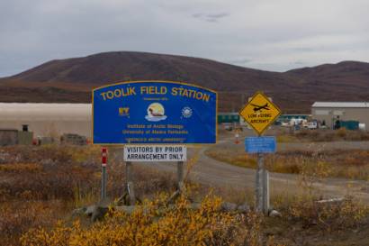
Institute of Agriculture, Natural Resources and Extension


Research within colleges
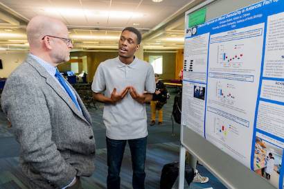
STEM
Research in STEM fields across the university’s colleges and schools drives innovation and technological advancements that address global challenges.
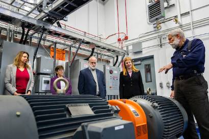
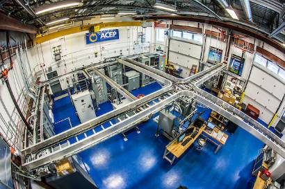
College of Engineering and Mines
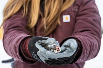
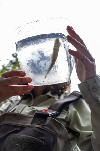
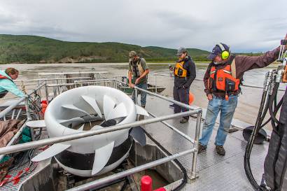
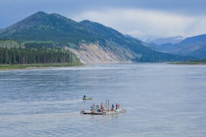
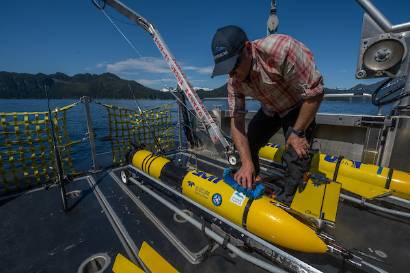
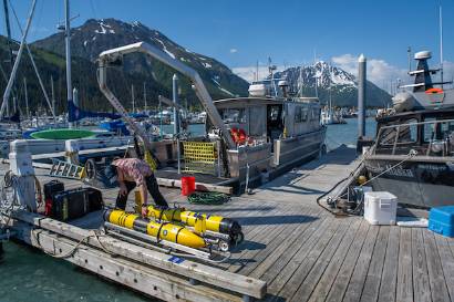
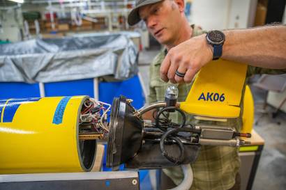
College of Fisheries and Ocean Sciences
College of Natural Science and Mathematics
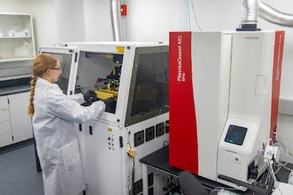
The College of Natural Science and Mathematics conducts research across diverse fields, including atmospheric sciences, biology and wildlife, chemistry and biochemistry, geosciences, physics, statistics, mathematics, and natural resources and environment. These efforts are supported by state-of-the-art facilities such as the Advanced Instrumentation Laboratory and the Arctic Coastal Geoscience Lab, fostering interdisciplinary solutions to environmental and public health challenges.
Humanities and society
Research in the humanities and social sciences examines cultural, economic, and societal dynamics to inform policy and enrich human understanding.
College of Business and Security Management
University Affiliated Research Center
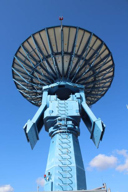
UAF hosts one of 14 UARCs nationwide.The core mission of the Geophysical Detection of Nuclear Proliferation University Affiliated Research Center is to assist the Department of Defense (DoD) and the Interagency in achieving dominant capabilities through technical excellence and innovation in early detection and analysis of nuclear proliferation as it applies to geophysical phenomenology.
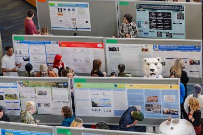
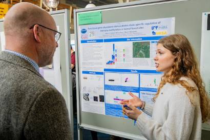
UAF at AGU 2025
December 15-19
University of Alaska Fairbanks faculty, staff and students will soon attend the American Geophysical Union (AGU) Fall Meeting 2025 from Dec. 15-19 in New Orleans, LA, and virtually.
See the full schedule of UAF talks and posters. Please contact uaf-research@alaska.edu for any questions.
UAF at AGU 2025 schedule
Impact
Impact is our newly imagined, biannual research publication. The first edition serves as a testament to the transformative research and creative work flourishing at UAF—a reminder of the innovation and pursuit of knowledge taking place at America’s Arctic university. Future editions will spotlight impactful researchers at all stages of their careers, innovative projects, and new initiatives fueled by UAF research.