
Yakutat Multibeam Sonar Data Accuracy Improved
ACEP Research Engineer Paul Duvoy is currently working on post-processing multibeam sonar survey data of the seafloor off Cannon Beach in Yakutat, Alaska in support of the wave energy project to reduce Yakutat's dependence on costly, diesel based electricity generation.
The data was acquired in May, 2017. During the survey Research Engineers Paul Duvoy and Nick Konefal surveyed a total of 195 km of transects in a total ocean area of 67.5 km2 in a local vessel operated by Captain Mark Sappington.
Post-processing of the GNSS data using the POSPac hydrographic data processing software package was recently completed. This improved the accuracy of the initial position data to an average accuracy of less than 2 cm horizontal less than 4 cm in the vertical. Original position errors were on the order of meters.
Duvoy is now working with the HIPS &SIPS software to apply sound velocity corrections to the data and to QC and validate the data. The end-product will be a highly precise bathymetric map of the seafloor. Sonar backscatter data will then be used to identify and locate any seafloor debris.
This work is funded as part of the U.S. Department of Energy Advanced Laboratory and Field Arrays for Marine Energy project.
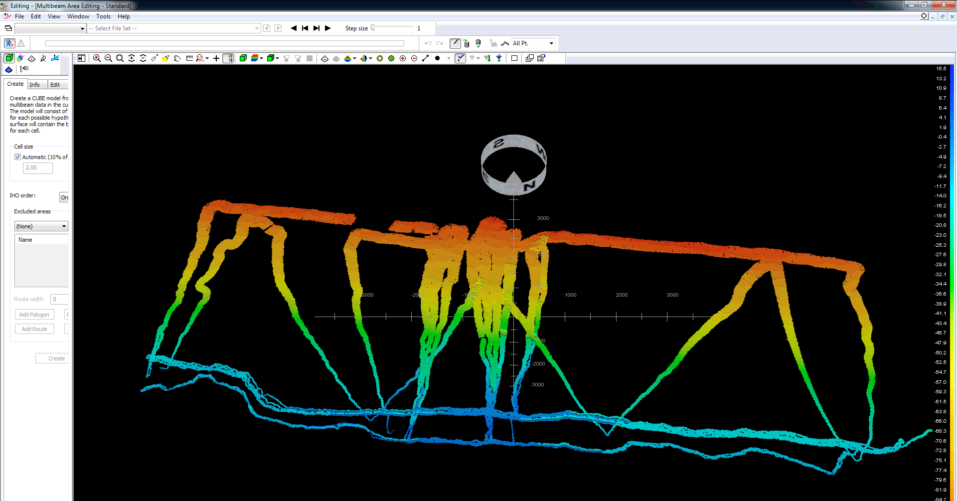
Photo: Screenshot of the raw multibeam data courtesy of Paul Duvoy.
