
Successful Oceanographic Survey Completed off Yakutat Coast
ACEP research engineers Nick Konefal, Stephanie Jump and Paul Duvoy, and returning researcher Jack Schmid recently returned from two weeks of fieldwork performing a bathymetric survey off the coast of Yakutat’s Cannon Beach, mapping out nearly 30 square miles of the ocean floor.
This is the second year in a row that ACEP has performed a successful oceanographic survey of the Yakutat coast and marked the start of a multiyear project determining its potential for wave and tidal energy.
Data collected will improve current bathymetric charts and wave modeling. It will also locate areas of debris and subsurface natural structures. Concurrent with the bathymetric survey, over 200 conductivity, temperature and pressure casts gathered oceanographic data throughout the water column.
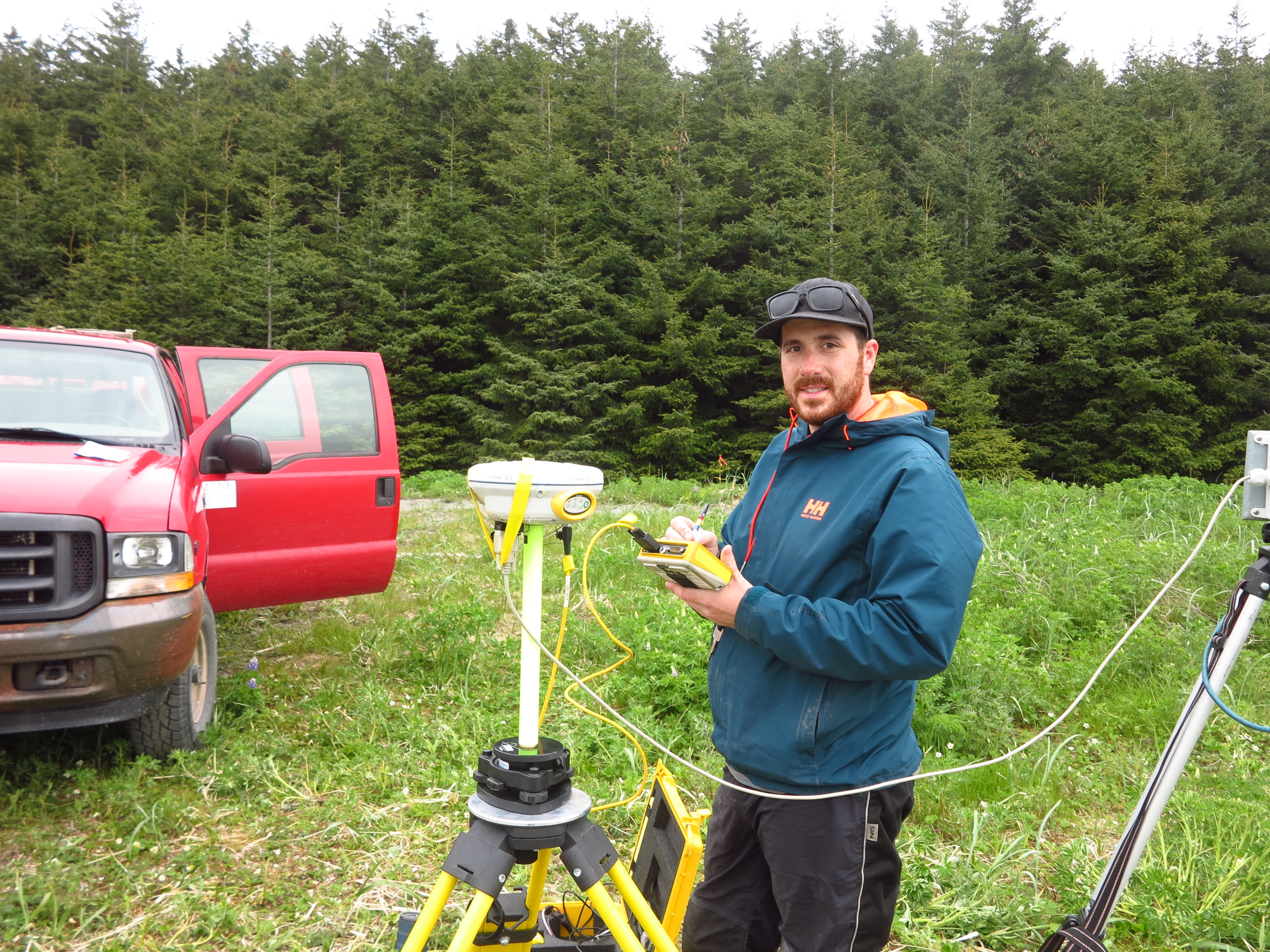
A real-time kinematic global positioning system was used to map beach transect elevations. They’ll be compared to other coastal elevation surveys to determine sediment and channel changes in the nearby Situk River, an important salmon and trout habitat.
Researchers will return to Yakutat June 25-29 to deploy oceanographic moorings and wave buoys.
Funding for the research is generously provided by the Bureau of Ocean Energy Management, the Office of Naval Research and Sandia National Laboratory.
For more information, contact the Alaska Hydrokinetic Energy Research Center director Jeremy Kasper jlkasper@alaska.edu.
Nick Konefal maps beach transect elevations. Photo courtesy of Nick Konefal/ACEP.