
Buoy-Mounted Technology Streams Real-Time Ocean Data to ACEP Researchers
ACEP researchers Paul Duvoy, Stephanie Jump and Jeremy Kasper recently returned from a two-week trip in the Arctic to work on the Bureau of Ocean Energy Management-funded Central Beaufort Sea Wave and Hydrodynamic Modeling Study.
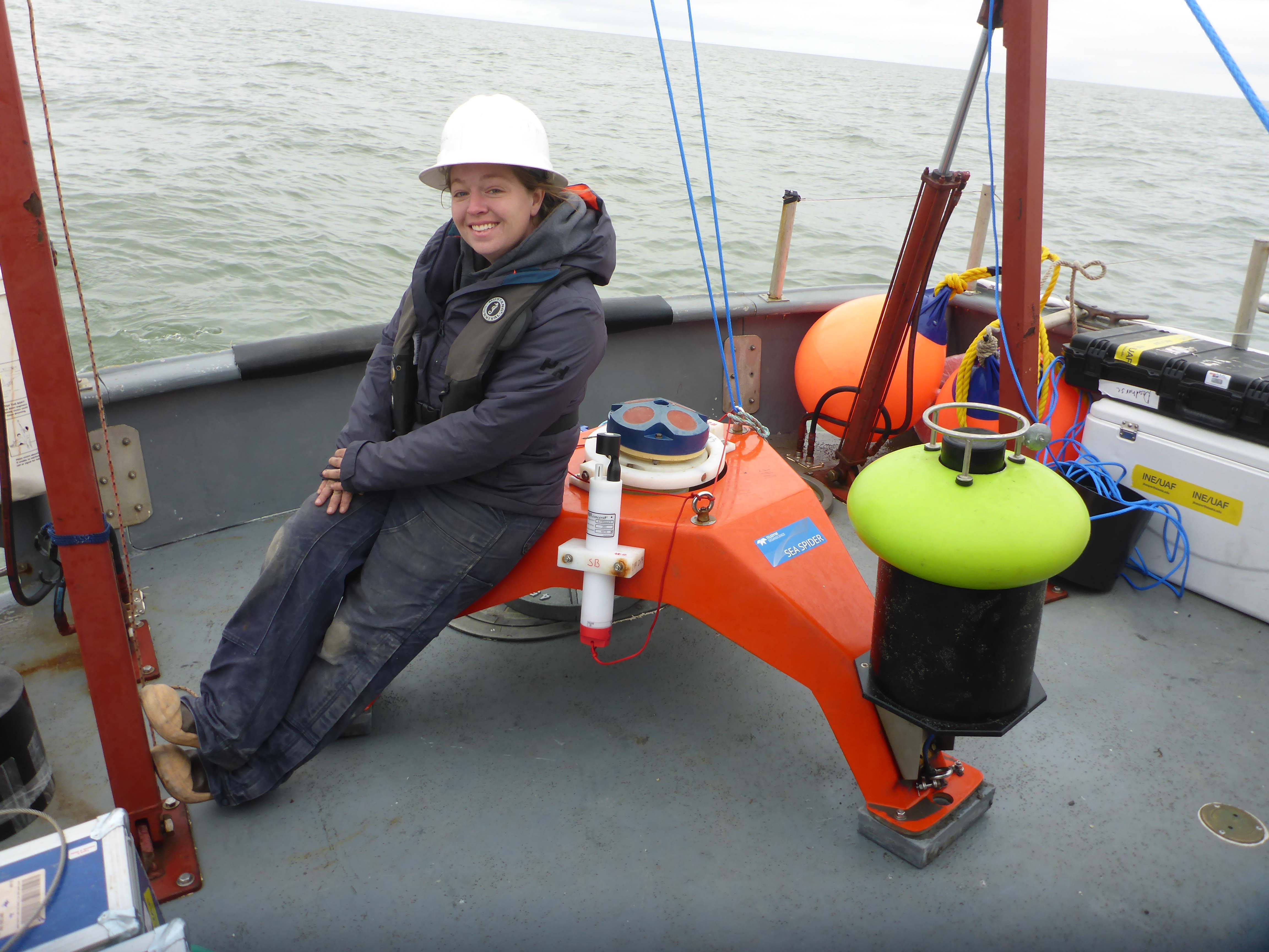
The researchers conducted vessel-based hydrographic surveys which included multibeam sonar, acoustic Doppler current profiler and conductivity, and salinity and depth measurements. In addition, they downloaded data and refreshed batteries from oceanographic moorings before redeploying them. The moorings measure water levels, waves, temperature, salinity and ocean current data in Foggy Island Bay. The moorings will remain out for a second year and be recovered in summer 2020.
A short-term “shoreface” mooring to measure sediment flux on the ocean shore was also deployed at this time and will be retrieved mid-September 2019. Two buoys fitted with transmitting equipment to stream real-time wave and wind information were also deployed at this time.
In addition, a drone and GPS were used to survey an area in Foggy Island Bay where a solar- and wind-powered meteorological station is maintained.
The meteorological station, equipped with east- and west-facing cameras, provides hourly updates on wind, temperature, barometric pressure and humidity. The camera images record ice and snow, and coastal change. The GPS transects, drone and camera images are used for understanding coastal change and erosion rates at the site.
This information will help BOEM understand sediment transport processes in the region of the proposed Liberty oil project’s drilling island.
ACEP's Stephanie Jump sits on an oceanographic mooring prior to deployment. Photo by Paul Duvoy.
