
3D Camera-Equipped UAV Produces Highly Accurate Mapping Images
Accuracy and precision in photogrammetry are extremely important when documenting and analyzing erosion and geological processes. A new unmanned aerial vehicle gives ACEP researchers the ability to obtain high-quality data with lower operating costs in shorter working times.
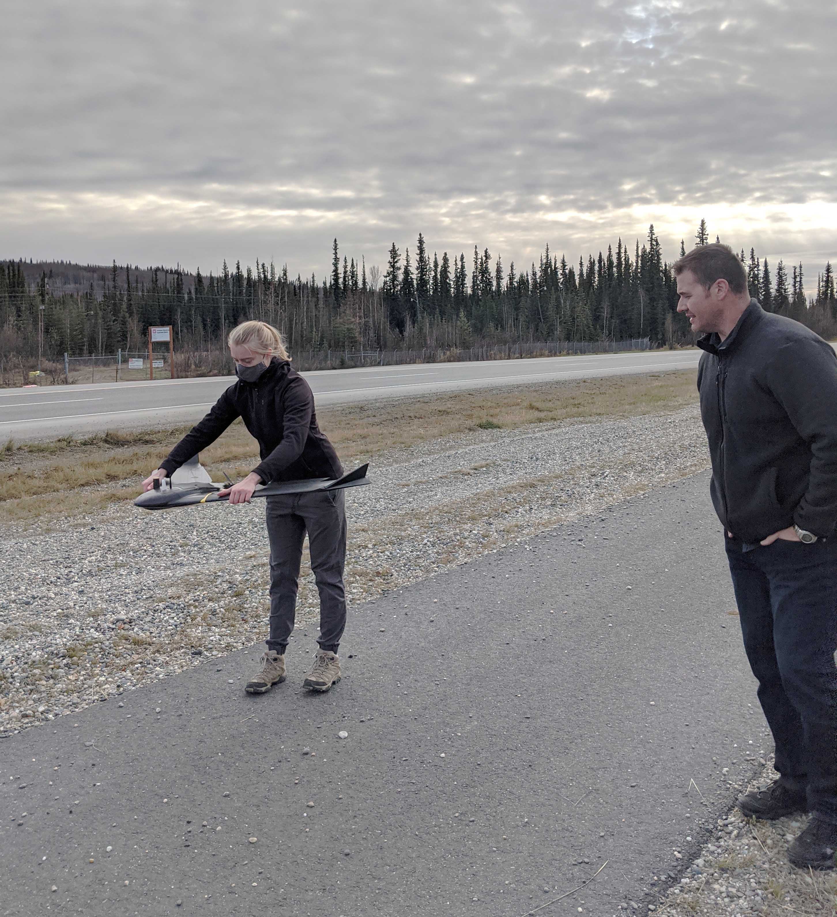
Last week, ACEP’s Paul Duvoy, Stephanie Jump, and graduate student Emily Browning were trained by Surveyors Exchange Co.’s Keven Parret in the use of a new fixed-wing eBee X UAV manufactured by the Swiss company senseFly.
The eBee X has unique features to assist in the ACEP team’s aerial surveying work. For example, it boasts 60 minutes of flight time (expandable to 90 minutes) and a -15°C minimum operating temperature, and it comes equipped with real-time kinematic positioning to provide centimeter-precision positioning information. It also has a 3D camera that captures a wider field of view, and supports an optional infrared camera.
For every image captured during flight, the UAV takes three images with its S.O.D.A. 3D camera. The professional drone photogrammetry camera changes orientation during flight to capture the three images (2 oblique, 1 nadir) every time, instead of just one, which results in a wider field of view. This creates a large-scale image with incredible accuracy.
Funding for the training and purchase of the UAV was provided by U.S. Army Program 633734T1500, Military Engineering Technology Demonstration.
Emily Browning receives instruction from Keven Parret on flying the eBee X UAV. Photo by Paul Duvoy.