Repeated Aerial Surveying Improves Digital Terrain Models

As coastlines change due to erosion, storm surges, and weather patterns, it is important to understand how landscapes and terrain may continue to change into the future. ACEP researchers have conducted annual unmanned aerial vehicle (or drone) mapping surveys along Yakutat’s Cannon Beach for the last five years, creating the start of a rich time series of data products. By repeating the surveys over time, researchers will be able to better determine how frequently data needs to be collected in order to improve the accuracy of the digital terrain models and orthomosaics.
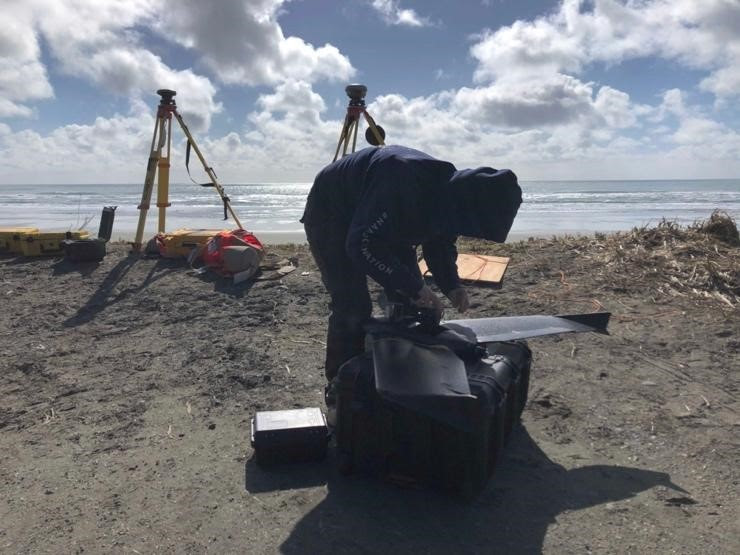
ACEP researchers Stephanie Fisher and Noelle Helder recently returned to Yakutat to continue the survey work at Cannon Beach. During the survey, the drone is programmed to take sequential, high-resolution overlapping photos in a ‘lawn-mower’ pattern over the beach. The images are later stitched together using post-processing software into a single, spatially accurate image, or ‘orthomosaic,’ which allows researchers to make highly accurate topographic maps of the surveyed area.
“We're trying to get a handle on the hazard that changes in the beach pose to marine energy offshore,” said Jeremy Kasper. Adding that changes can be caused by seasonal dumps of eroded beach sand offshore, through trees or both, and are ubiquitous challenges that will need to be figured out before marine energy is more broadly applicable in Alaska or for the U.S. Department of Defense. “First step is to try and figure out the magnitude of the challenge and that's where we are now,” said Kasper.
This work is funded by the U.S. Army Engineer Research and Development Center under the Secure and Resilient Power Generation in Cold Region Environments grant.
For more information please contact Stephanie Fisher at sjump@alaska.edu.


