OneTree Alaska: Phenology & Climate Change


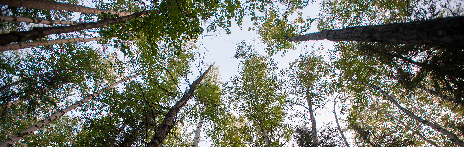
Phenology is the study of cyclic and seasonal natural phenomena, especially in relation to climate, plant and animal life. Some examples of phenology include when sap starts flowing in birch trees, when the leaves start to turn green and when pollen explosions begin. Observers in Fairbanks have tracked these three phenophases in birch trees for over 50 years. These observations show that sap flow, green-up, and pollen release are triggered by the accumulated heat-sum (degree-days above freezing). OneTree integrates research and citizen science projects by collaborating with K-12 teachers, university students, staff and faculty and Fairbanks artists.
OneTree has a Long-Term Ecological Monitoring research plot on UAF campus with 144 saplings grown from seeds collected from eight maternal trees. The seeds were started in a greenhouse under conditions simulating the lengthening growing season in Alaska, testing how initial growing season length affects long-term tree growth. The characteristics of these trees can tell us a lot about the genetic diversity and resilience of our local birch resource, and provide insight into how our forests might change in the future.
Birch Sap Tapping with students teaches about responsible tree sap harvest, explores tree health and climate effects, and to taste a delicious product of photosynthesis.
Alaska as Art
Satellite-Earth Imagery is a beautiful way to visualize the climatic and geologic processes that shape Alaska’s landform. Santosh Panda, associate professor of Natural Resources and Environment, is advancing the use of remote sensing to improve scientific understanding of Arctic landscape change and related geo-hazards in Alaska.
Panda’s research includes high-resolution modeling of permafrost distributions in the seven national parks in Alaska, building community capacity to monitor permafrost in the Native villages of Telida and Nikolai, and mapping Colville River bathymetry to aid safe river travel. He is leading the research effort to improve the boreal wildfire fuel map of Alaska as part of the Alaska National Science Foundation EPSCoR Fire and Ice Project.
Panda and colleagues created the ‘Alaska As Art’ collection, which showcase the volcano on Augustine Island, the most active volcano in Cook Inlet, the Malaspina Glacier, the largest glacier in Alaska, young ice at the edge of the arctic shrinking ice pack, and the Yukon-Kuskokwim Delta, where the 2 largest rivers in Alaska meet the Bering Sea. They created these displays with the following goals in mind:
- To promote the use of publicly available Landsat satellite images for education and art.
- Help our audience grasp the geologic concepts like volcanic landforms, glacier
recession, permafrost polygonal ground, shifting ice pack, river and coastal erosion, and wind deposition in Alaska. - To spread awareness of satellite remote sensing technology and its applications in earth observation, applied research, and societal well-being, Panda offers a free online GIS class hosted on edX, an online learning platform.


Alaska Boreal Forest Soils Lab


Tree rings can tell stories, and researchers can use these stories to paint a picture of the future. Jessie Young-Robertson and her lab partners use dendrochronology, stable isotope analysis and xylem analysis to understand how trees responded to different environmental conditions in the past and to better understand tree function. They can use this information to predict how the boreal forest will change in the future in response to new environmental conditions, including rising air temperatures, changes in water availability, shifts in the timing of the growing season, changes in the climate conditions during spring and fall, increased wildfire risk and higher risk of damage from pathogens.
Dendrochronology: the study of tree rings to understand tree age, past events and environmental change. The width, density and chemical composition of the rings can inform scientists about past environmental conditions and the history of that particular tree, such as the water available each year, how fast the tree grew, the tree’s age and past events like wildfires, late spring freezes and insect infestation. Narrow rings suggest stress like drought or disease while wide rings indicate big growth years and ideal environmental conditions for the tree. Among the rings are scars that mark forest fire, fungi, or insect damage.
Stable Isotope Analysis: most elements, like carbon, exist in two or more forms, called isotopes. The ratio of the isotopes found in a tissue sample is called a signature. Researchers can examine if the signature of wood tissue remains constant over the tree's lifespan and can use stable isotope signatures to reconstruct past events.
Xylem analysis: xylem cells (living and dead) form a tree’s “woody” structure. Xylem tissue is of interest because it transports water and nutrients from the roots throughout the plant. Tree xylem sap contains various chemical signals that indicate the tree’s physiological state and local environmental conditions.
