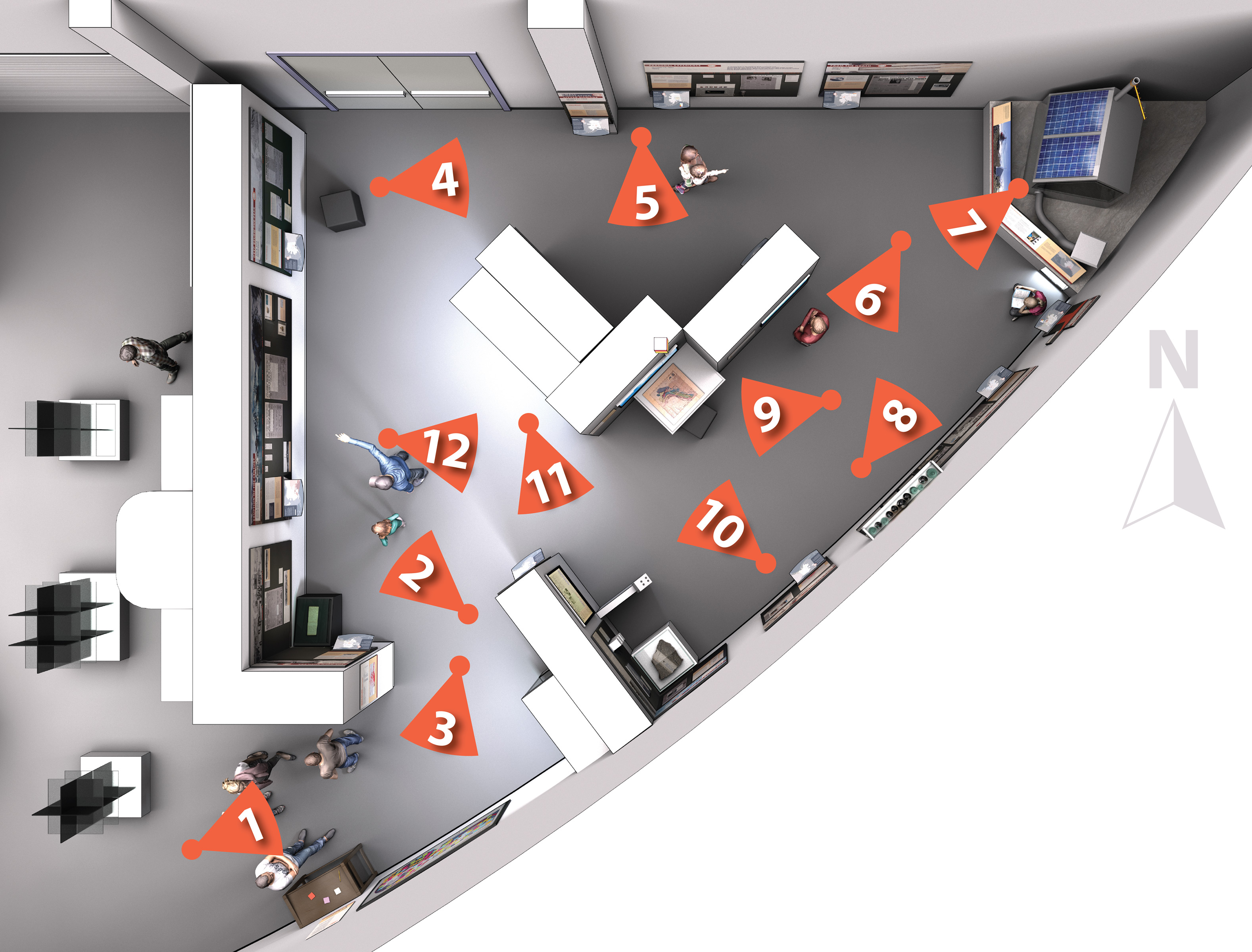
1. ShAKe from the gallery entrance, showing the exhibit introduction and the maps where
visitors wrote and posted their own experiences with earthquakes around the world.
1/12
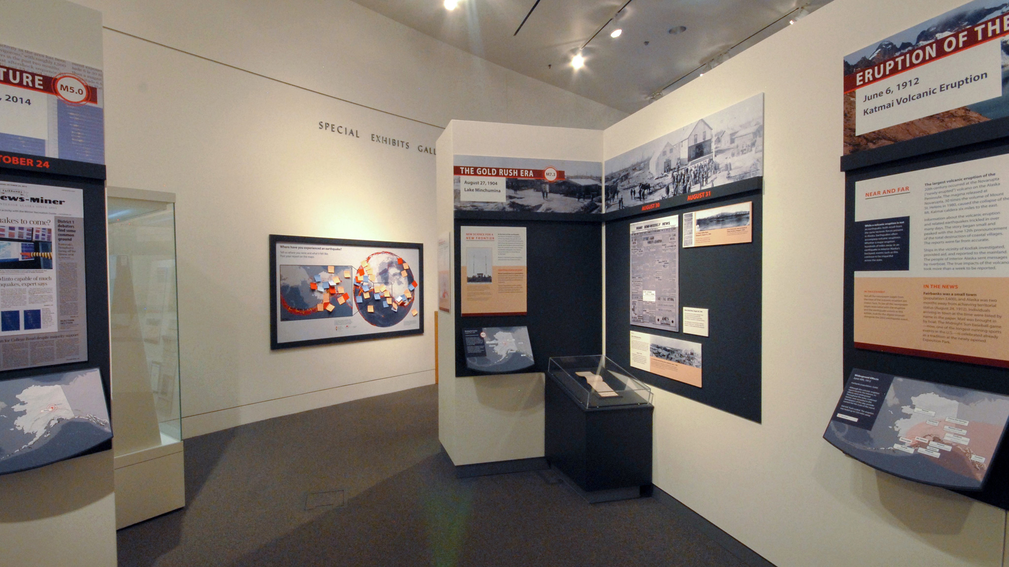
 2.
2. A view of the gallery’s west wall and the 1904 and 1912 earthquake events in Interior
Alaska. The diary in the case is Wickersham’s from 1904, on loan from the Alaska State
Library.
2/12
 3. Looking back at the exhibition entrance from the northwest corner of the gallery.
3/12
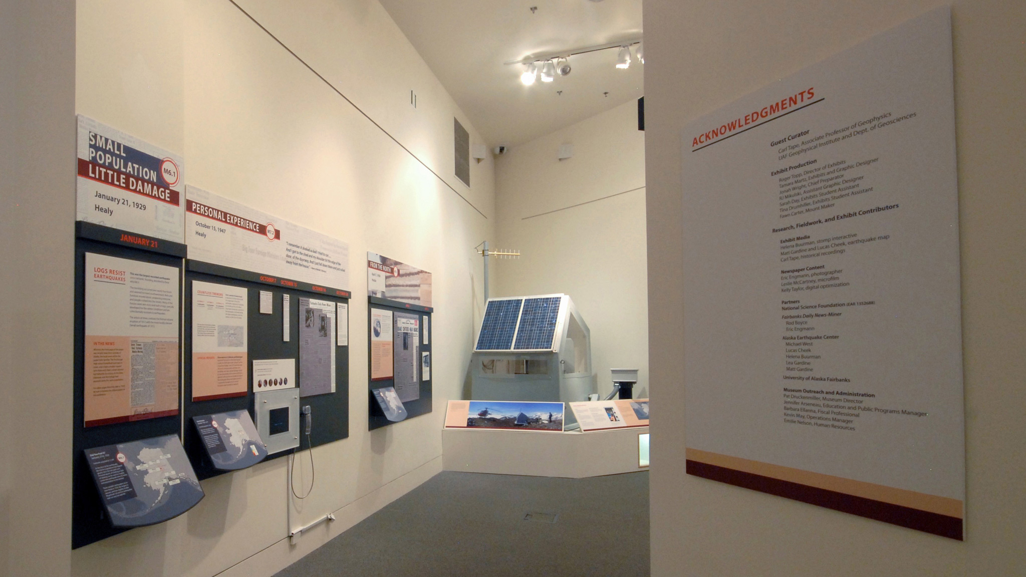
4. Looking along the north wall of the gallery and the exhibits for the 1929, 1947,
and 1958 earthquake events.
4/12
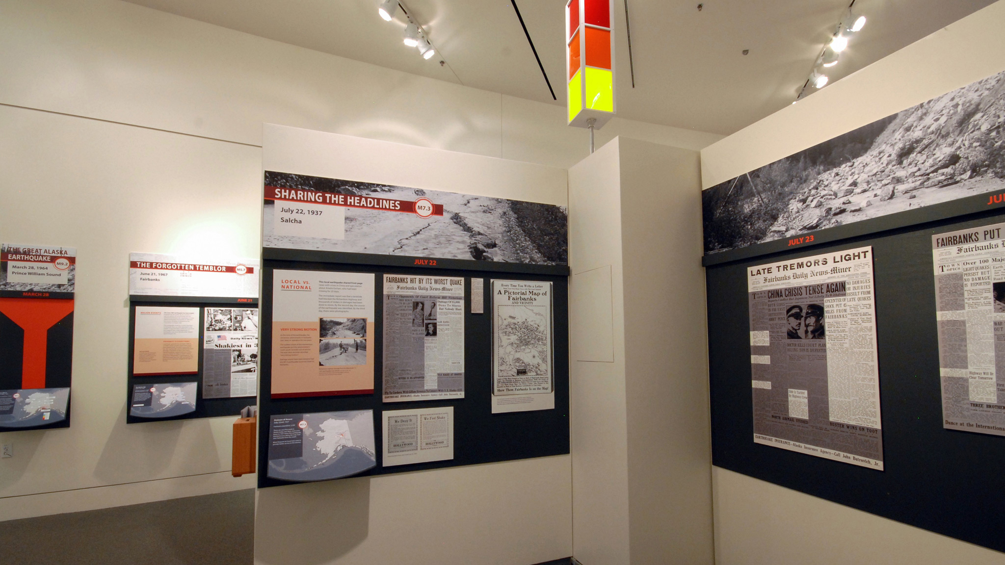 5. Looking at the exhibit for the 1937 earthquake event. The yellow light on the tower
indicates a minor earthquake event somewhere in Alaska within the last couple minutes.
5/12
 6. Looking west along the south wall of the gallery and the exhibits for the 1964, 1967,
1995, and 2002 earthquake events.
6/12
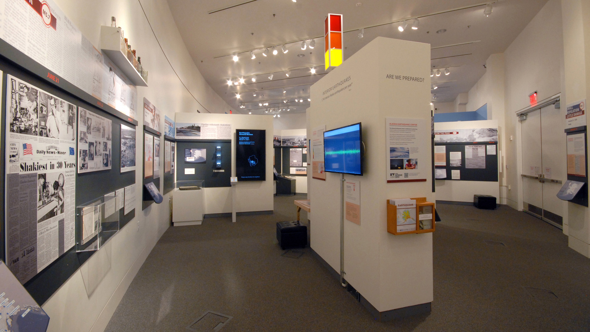 7. Looking back west at much of the exhibition.
7/12
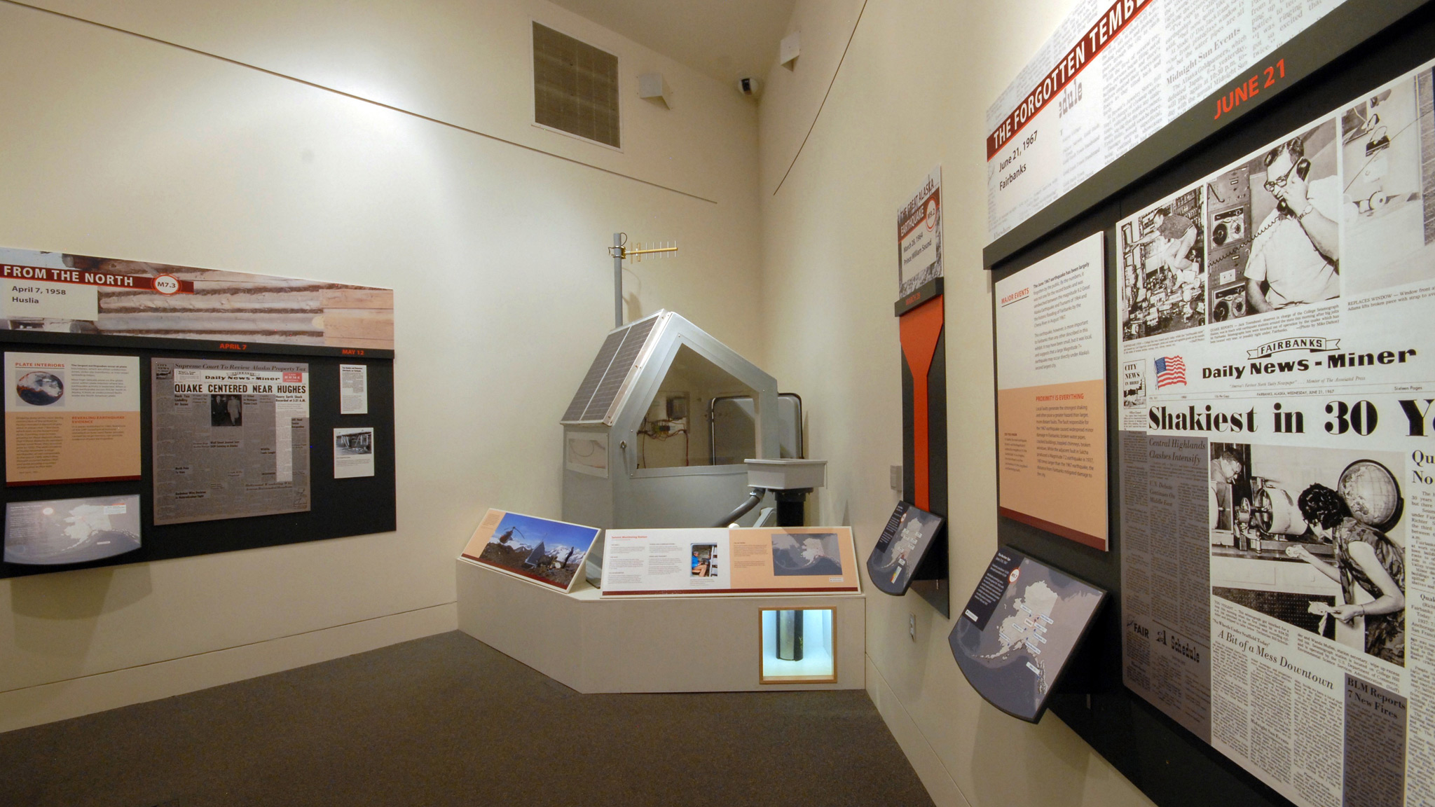 8. Looking towards the eastern tip of the gallery at the retired earthquake hut and
seismometer on exhibit.
8/12
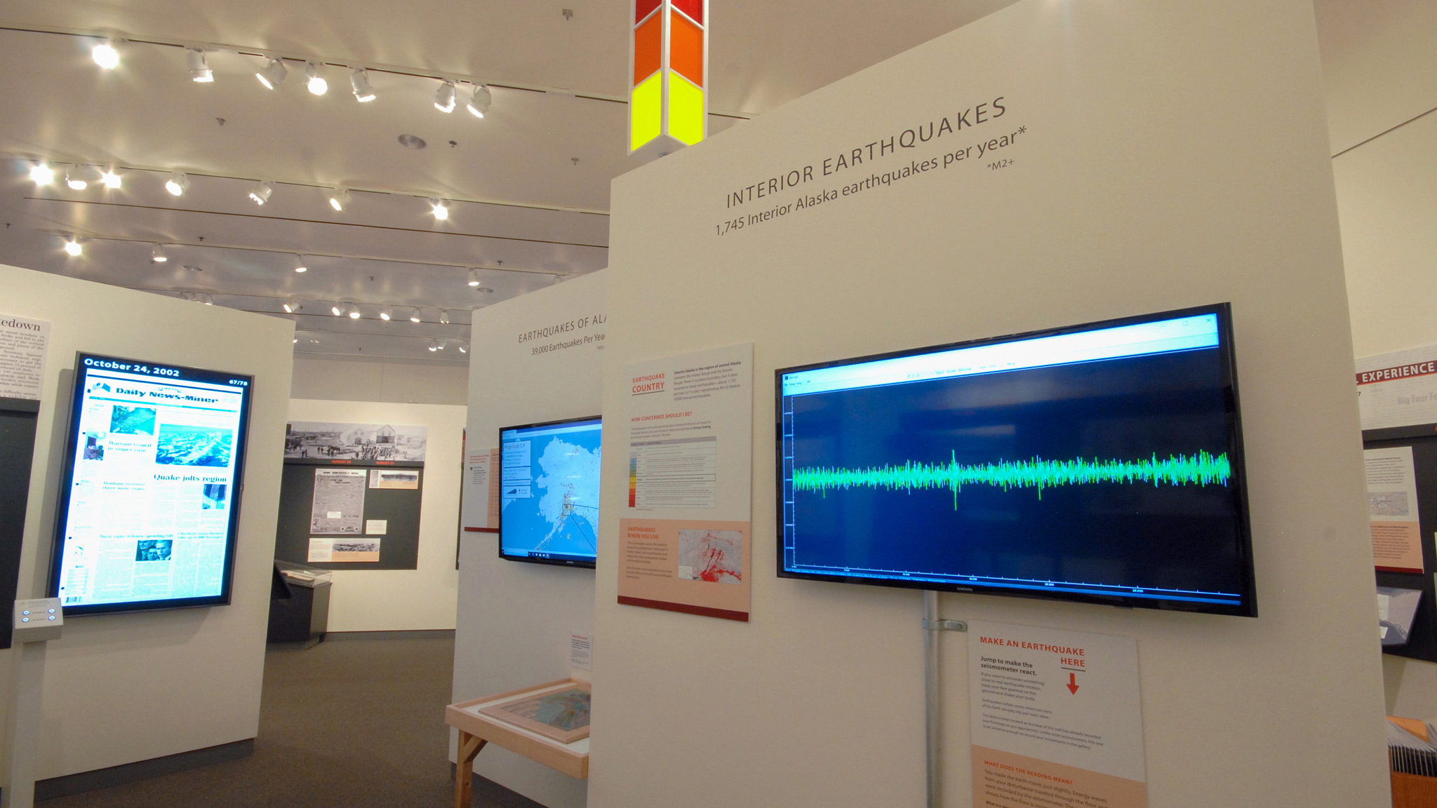 9. The exhibition’s stomp station, where visitors made and observed (very minor) earthquakes
of their own. Above, the yellow light indicates a recent earthquake somewhere in Alaska.
9/12
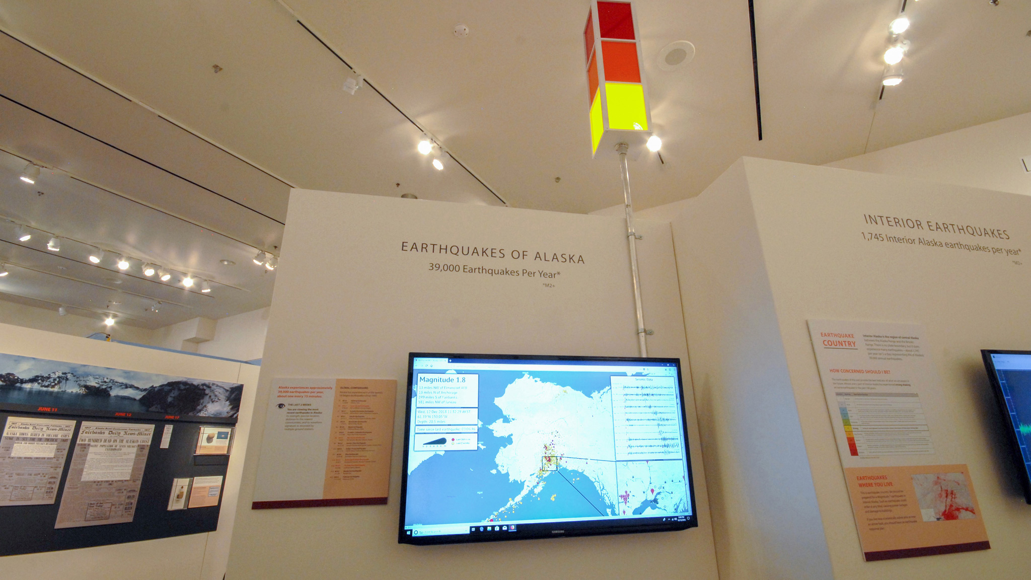 10. The exhibition’s Alaska Earthquake Map marks the prior two weeks of earthquakes in
the state. This map is accessible online. See the menu for links and online resources.
10/12
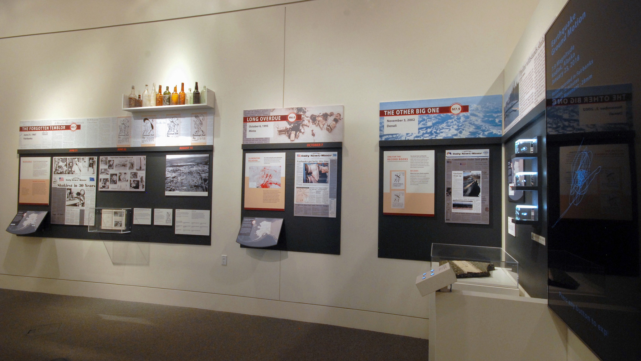 11. This part of the south wall showcased events from 1967, 1995, and 2002, as well as
the digital newspapers collection and scale models of ground motion in Alaska.
11/12
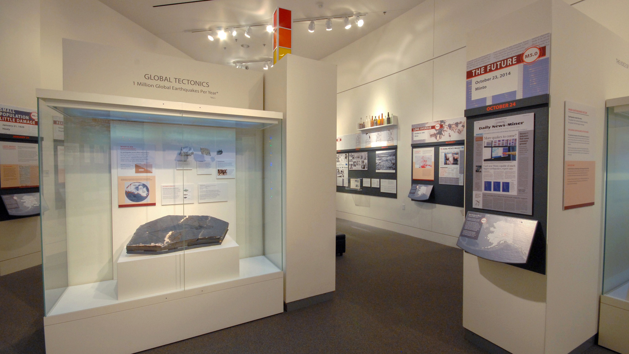
12. The exhibition’s tectonics case featured rocks formed within tectonic faults and
the museum’s thalattosaur specimen, collected in south-central Alaska.
12/12

